


Dashoguz Velayat, Turkmenistan, 6-8 April 2026 — Within the framework of joint activities of the Scientific-Information Center of the Interstate Commission for Sustainable Development (SIC ICSD) and the UNDP-GEF project “Conservation and Sustainable Management of Land Resources and High Nature Value Ecosystems in the Aral Sea Basin”, a series of practical consultations and round tables were successfully conducted, aimed at strengthening the capacity of local authorities and sectoral specialists in achieving Land Degradation Neutrality (LDN).
The events were organized with the active participation of the national GIS specialist of SIC ICSD and an international consultant specializing in GIS technologies for the implementation of LDN-oriented land use and improved management of protected areas, engaged with financial support from the programme “Russian Experts for International Development.” Participants included representatives of land resources services, forestry and water management authorities, specially protected natural areas, local administrations, and daykhan associations.
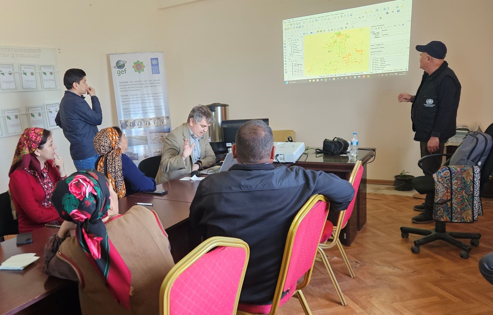 Presentation of GIS-tools durng the roundtable. Photocredit to UNDP Project.
Over the course of three days, participants discussed existing mechanisms for monitoring land degradation indicators across various land categories, including irrigated lands, pastures, forest areas, and specially protected natural territories. Particular attention was given to legal and institutional frameworks, technical infrastructure, and methodological approaches to monitoring.
During the consultations, a preliminary version of the methodology for the application of Geographic Information Systems (GIS) for land monitoring and assessment was presented. Participants were introduced to modern spatial data analysis tools and their practical application in sustainable land management.
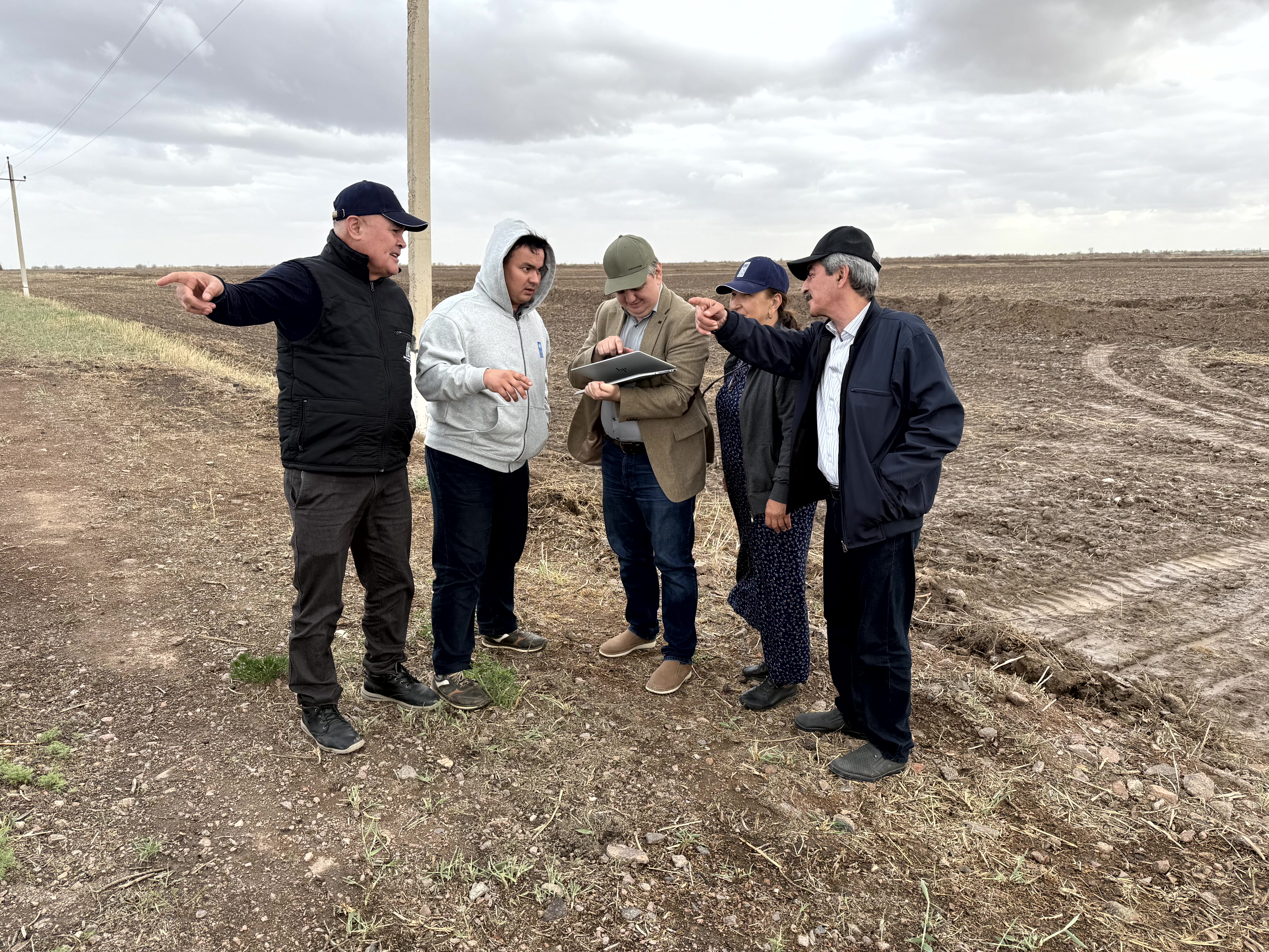 Application of GIS-tools in the field. Photocredit to UNDP Project.
A significant part of the programme was dedicated to field visits to demonstration sites in the Ruhubelent and Shabat etraps, as well as to the Gaplangyr State Nature Reserve and the Murzebashi forest area. During the practical training sessions, participants developed hands-on skills in applying GIS technologies for assessing the condition of irrigated and pasture lands, as well as for monitoring ecosystems within protected areas and forest lands.
Special emphasis was placed on biodiversity data collection and analysis, mapping of key habitats, identification of biodiversity “hotspots,” and the use of digital tools to enhance the effectiveness of planning and natural resource management. In addition, participants were introduced to a project-developed tool for calculating the production capacity of nurseries cultivating desert and wild plant species.
The conducted activities contributed to strengthening the practical skills of specialists, enhancing inter-agency cooperation, and promoting the adoption of modern approaches to land degradation monitoring. The results obtained will support the improvement of the national reporting system under the United Nations Convention to Combat Desertification (UNCCD), particularly through the PRAIS 4 platform, and will contribute to advancing sustainable land management in Turkmenistan and the broader Central Asian region.
The event supports the achievement of:
| Priority Area No 5 of REP4SD dedicated to SDG 15: “Protect, restore and promote sustainable use of terrestrial ecosystems” |
| 5.1.7 use of modern monitoring methods to account for flora and fauna species, ecosystem conditions, land resources. |
| Priority area No 6 of REP4SD dedicated to SDG 17: “Strengthen the means of implementation and revitalize the Global Partnership for Sustainable Development” |
| 6.1 Involvement of the region into implementation of global environmental conventions, programmes and initiatives. |