


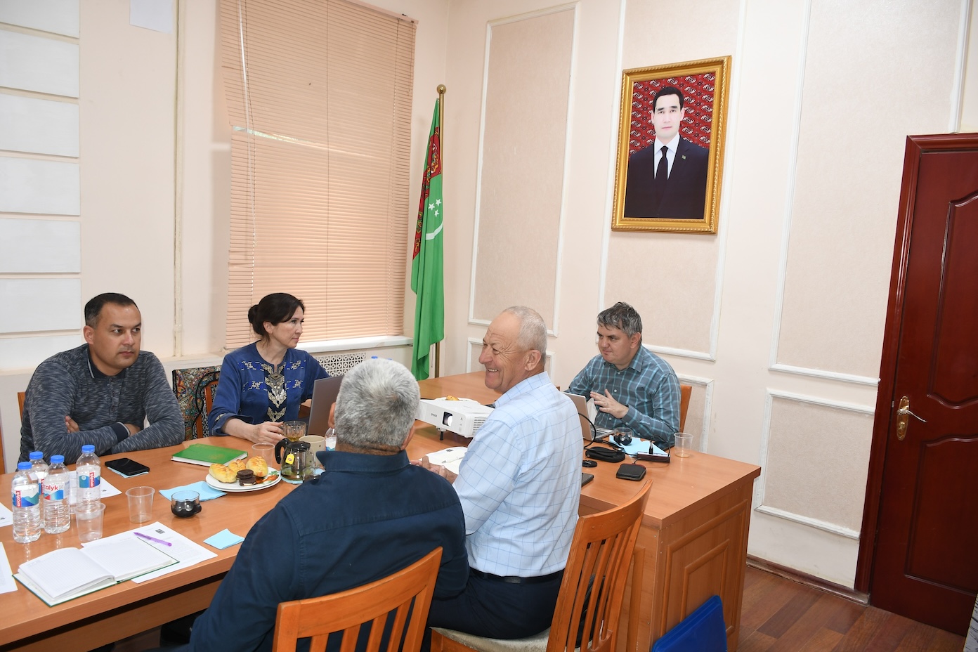
Lebap Velayat, Turkmenistan, 26-28 March 2026 — Within the framework of joint activities of the Scientific-Information Centre of the Interstate Commission on Sustainable Development (SIC ICSD) and the UNDP-GEF project “Conservation and Sustainable Management of Land Resources and High Nature Value Ecosystems in the Aral Sea Basin,” a series of practical consultations and round tables were successfully conducted with the aim of strengthening the capacities of local authorities and technical specialists in achieving Land Degradation Neutrality (LDN).
The events in Lebap velayat were organized with the active participation of a GIS expert from SIC ICSD and brought together representatives of land resources, forestry and water management services, protected areas, as well as local administrations and farmers’ associations.
 Actitivies enhacing practival skills in advancing GIS tools. Photocredit to UNDP.
The primary objective of the activities was to enhance practical skills in the application of geographic information systems (GIS) and remote sensing technologies for land degradation assessment and integrated land-use planning. The activities were fully aligned with the national reporting requirements under the United Nations Convention to Combat Desertification (UNCCD) for 2026 and were aimed at strengthening land degradation monitoring systems.
The programme placed particular emphasis on improving mechanisms for monitoring land degradation indicators in line with the LDN concept, integrating advanced GIS technologies and Earth observation tools into land-use planning processes, developing digital solutions for systematic land monitoring, strengthening environmental sustainability and improving the management of various land categories, including irrigated lands, pastures, forest lands and protected areas, as well as enhancing human capacity through hands-on training of local specialists.
 Actitivies enhacing practival skills in advancing GIS tools. Photocredit to UNDP.
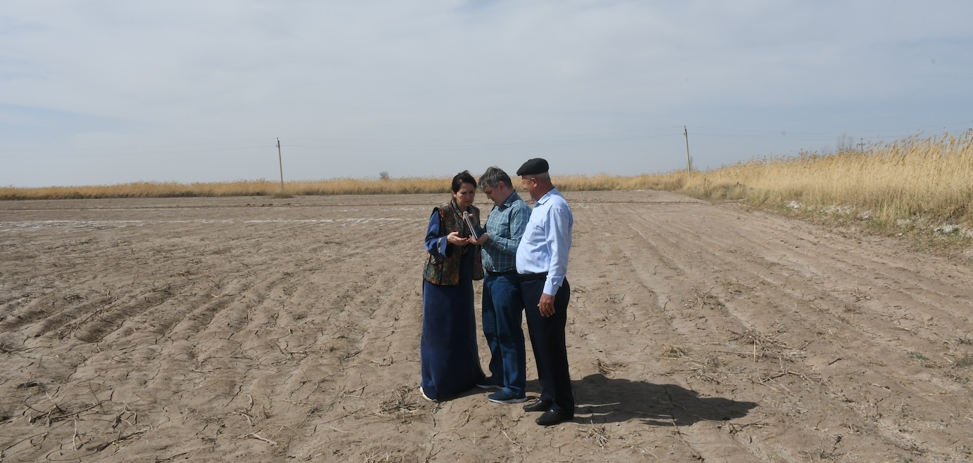
The programme combined analytical sessions with field visits to demonstration sites in Döwletli (Dänew) and Çärjew districts, where participants gained practical experience in applying GIS tools to assess the condition of irrigated, pasture and forest lands. Particular attention was also given to mapping exercises, identification of land degradation and biodiversity “hotspots,” and the use of digital tools to assess sustainable carrying capacity of natural resources.
 Actitivies enhacing practival skills in advancing GIS tools. Photocredit to UNDP.
The activities resulted in tangible outcomes, including the strengthening of the methodological framework for land degradation monitoring, the development of approaches for establishing a unified digital database, and the adaptation of reporting processes in line with UNCCD requirements.
The participation of SIC ICSD in these activities contributes to strengthening regional cooperation in sustainable land management, promoting the uptake of innovative technologies, and facilitating the integration of international approaches into national planning and reporting processes.
The event supports the achievement of:
| Priority Area No 5 of REP4SD dedicated to SDG 15: “Protect, restore and promote sustainable use of terrestrial ecosystems” |
| 5.1.7 use of modern monitoring methods to account for flora and fauna species, ecosystem conditions, land resources. |
| Priority area No 6 of REP4SD dedicated to SDG 17: “Strengthen the means of implementation and revitalize the Global Partnership for Sustainable Development” |
| 6.1 Involvement of the region into implementation of global environmental conventions, programmes and initiatives. |